Belo Horizonte

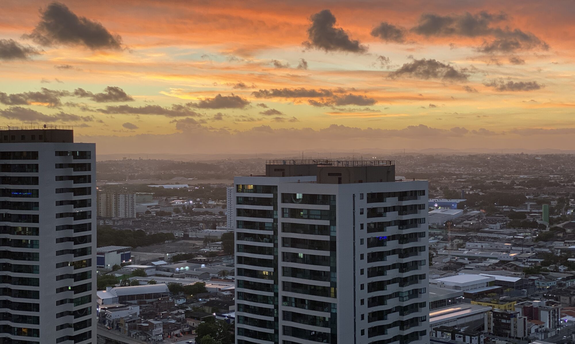
Created to replace Ouro Preto as the capital of the state of Minas Gerais, Belo Horizonte is one of the few Brazilian towns that were planned. Situated at an altitude of 858.3 metres, its construction began in 1893 and it was inaugurated four years later with the name Cidade de Minas Gerais. In planning it, the engineers, Aarão Reis and Francisco Bicalho, found their inspiration in the town plan of Washington DC (USA).

Belo Horizonte is the fourth city in the country in population, with 2.3 million inhabitants. Its metropolitan region is formed by 20 municipalities. The capital is also a gateway to historical towns like Ouro Preto and Mariana and to the Lapinha and Maquiné grottoes.

Because it is a city that was actually planned, and also because of its neoclassical and modern architectural features, Belo Horizonte can be regarded as a landmark for town planning and for architecture in the country. Anyone visiting it must not miss the Pampulha centre, the site of the first revolutionary works of Oscar Niemeyer, the best known Brazilian architect. The Pampulha also has works by the artist Cândido Portinari, the landscape architect Burle Marx and the sculptor Ceschiatti and includes the church of São Francisco de Assis, the Belo Horizonte Museum of Art, the Yacht Club, the Dancing Academy, the House of Juscelino Kubitschek, the Headquarters of the Zoo-Botanical Foundation, the monument to Iemanjá and the Mineirão and Mineirinho stadiums, registered as historic heritage.

Another of the important architectural works of Belo Horizonte is the Palace of Liberty, the seat of the State Government. Constructed in the neoclassical style, it is the result of the influence exercised on Brazilian architecture by a French mission that visited the country at the end of last century. Particularly interesting as places to be visited in the capital are the Mineralogy and Historical Museums and the Palace of the Arts, situated in the Municipal Park, with a modern theatre, cinema, craft shop and space for exhibitions of plastic arts.

In the area surrounding Belo Horizonte are parks of great natural richness such as Mangabeiras, located six kilometres from the city in the Serra do Curral. This park provides an astonishing view of the capital with an area of 2.35 million m2, of which 900 000 m2 are native forest. There is also the Mata do Jambeiro nature reserve extending over 912 hectares, with vegetation typical of the Atlantic Forest. In it live more than one hundred species of birds and ten different species of mammals.

Brasília

Capital of Brazil since its inauguration in 1960, the construction of Brasília was determined by the President of the Republic, Juscelino Kubitschek in 1956 and is now registered by UNESCO as a world heritage site. A national contest was held to decide on the design of the new city and the jury consisted of the Englishman, William Holford, the Frenchman, André Sive, the Greek, Stamo Papadaki and the Brazilians Paulo Antunes Ribeiro, Horta Barbosa, Israel Pinheiro (chairman) and Oscar Niemeyer, the architect responsible for the city’s main architectural works.

Lucio Costa was announced the winner on March 16th, 1957, and the other qualifying designs were those submitted by the teams formed by B. Milman, J.H. Rocha and Ney Gonçalves (in second place), Rino Levi and associates and M.M.M. Roberts (joint third place). The design submitted by the team of young São Paulo architects, which included Joaquim Guedes, contained ideas and forms that were similar to those of the winning entry, evidence of the importance of road axes and a linear structure in the definition of contemporary town planning.

The draft scheme submitted by Lucio Costa was in the form of an aeroplane or a cross; the wings (north and south) consisted of a road axis with lateral axes (east and west) incorporated and bordered by multi-family units in large squares, formed by rectangular blocks of six and three floors, intersected by streets for businesses and premises for schools and leisure activities. The complex of the four large squares was called the Neighbourhood Unit, as it contained residential and every day facilities.

On the smaller arm of the cross or the aircraft wings, the local and federal government offices are arranged in regular rows, comprising the Esplanada dos Ministérios, grouped around areas at the poles to create the Praça dos Três Poderes occupied by the federal government, the Paço Municipal in the Praça do Buriti. The unusual structure of Brasília Cathedral, adorned inside by an imaginary nun designed by the sculptor Alfredo Ceschiatti, lends emphasis to the surrounding paved area with a back-drop consisting of the monumental domes of the National Congress.

In this immense area, where the sign of the cross is expressed in a directly symbolic way according to the rules laid down by Lucio Costa in the explanatory notes accompanying his initial sketch, the buildings of the different government departments are intermingled with areas concerned with business, leisure and public transport. The areas designed to accommodate this mixture of functions are located at the intersections and consist of theatres, shopping centres, banks and roads.

The areas where the embassies and the University of Brasília are situated are an excellent example of Brazilian and international architecture and house centres of advanced research in various disciplines. Facing the vast artificial lake to the east of the city, these areas are also occupied by clubs, parks and housing. The recent use of the lakeside for highly sophisticated shopping and recreation is a move towards making Brasília a tourist attraction as well as being a political and administrative centre, expanding the potential for the development of the Centre West in accordance with the objectives of the then President Kubitschek.