The North-East region includes the states of Maranhão, Piauí, Ceará, Rio Grande do Norte, Paraíba, Pernambuco, Alagoas, Sergipe and Bahia, and occupies an area of 1,561,177.8 km2 representing 18.26% of the total area of Brazil. The majority of its territory consists of vast and ancient plateaux that have been smoothed by erosion. Because of the different physical characteristics within the North-East region, it is divided into four sub-regions: mid-north, forest area, wild lands and backlands.
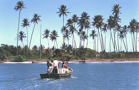
The band of transition between the semi-arid backland of the North-East and the Amazon region is known as the mid-north with a climate that becomes considerably more humid towards the west with flourishing vegetation. The natural vegetation of this area is a palm tree forest where the giant babaçu palm is found and from which oil is extracted for use in the manufacture of cosmetics, margarine, soap and lubricants.
The economy of the North-East region is based chiefly on the agro-industry connected with sugar and cocoa. Some years ago, fruit-growing for export was started in the São Francisco river valley in the states of Bahia and Pernambuco. Oil is being explored on the coast and on the continental platform and is processed in the Landulfo Alves refinery in Candeias and in the Pólo Petroquímico at Camaçari, both in the state of Bahia. The region’s tourist industry, which has been showing great development potential, has grown fast in recent years with promising prospects for the future.
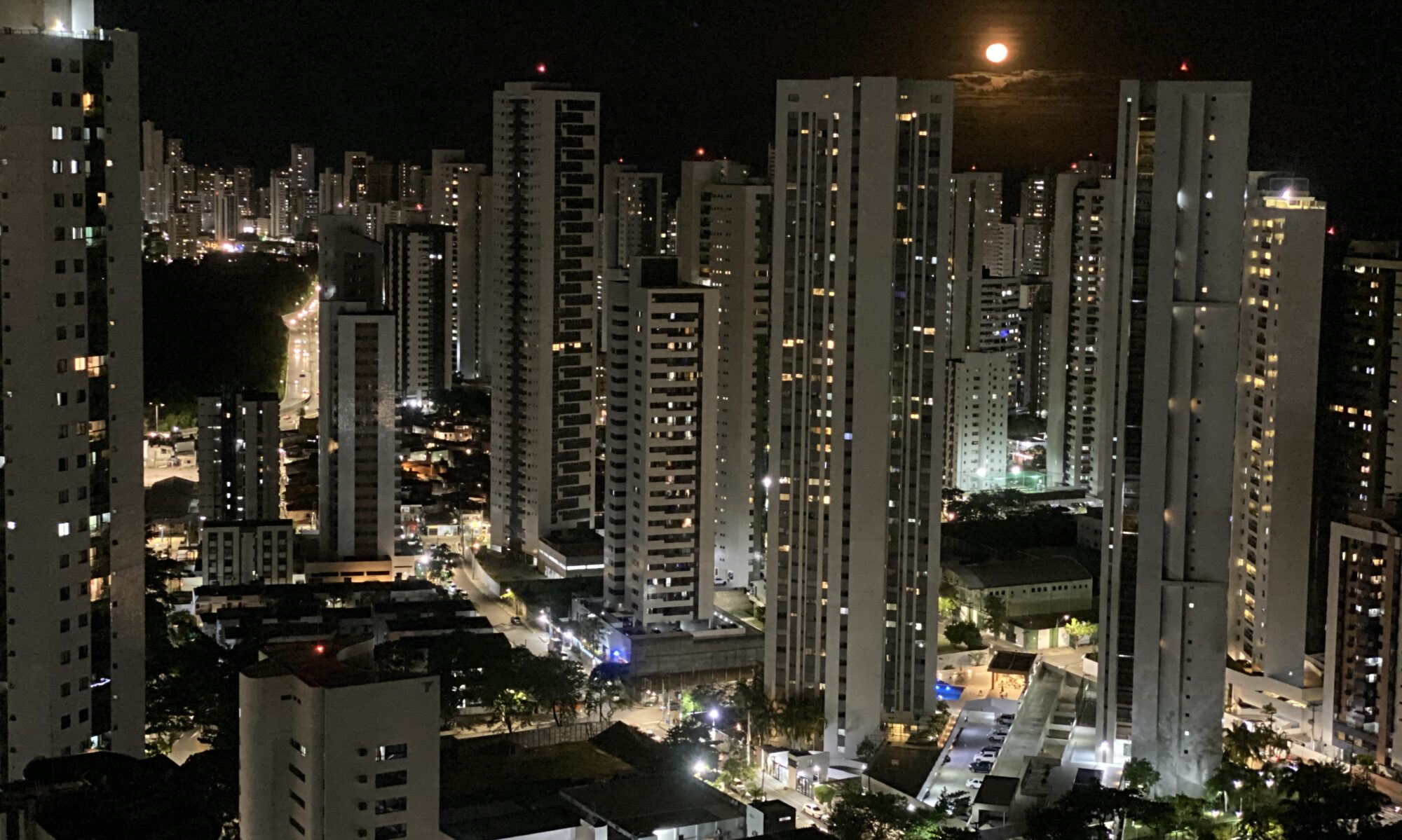
The population of the region totals 44,768,201 inhabitants and accounts for 28.9% of Brazil’s total. Life expectancy in this region is the lowest in the country with an average of 64.22 years. Its demographic density is 28.73 inhabitants per km2 and the majority of the population is concentrated in the urban area (60.6%). The chief metropolitan regions are the cities of Salvador, capital of the state of Bahia; Recife, capital of the state of Pernambuco; and Fortaleza, capital of the state of Ceará.
The forest area stretches from the state of Rio Grande do Norte to the south of the state of Bahia, in a coastal strip that is almost 200 km wide. It has a humid tropical climate with rain falling more frequently during autumn and winter, except in the south of the state of Bahia where it is evenly distributed all year round. The soil of this area is fertile and natural vegetation consists of Atlantic Forest, now practically extinct and replaced by sugar-cane farming since the start of colonization.
The wild lands are the transition area between the forest area, a humid region covered in marsh, and the semi-arid backland. In this sub-region, the more fertile lands are occupied by smallholdings that mainly concentrate on subsistence and dairy farming.
The backland, a vast area with a semi-arid climate, reaches as far as the coastal strip in the states of Rio Grande do Norte and Ceará. The soil of this sub-region is shallow and stony; what little rain falls is unevenly distributed and agriculture is severely limited. The typical vegetation of the backland is caatinga or arid land. In the more humid parts there are groves of palm trees, particularly the South American wax palm which can be fully processed by the local inhabitants. The São Francisco is the region’s largest river and the only source of all year-round water for those who live on its banks. The economy of the North-Eastern backlands is based on extensive cattle-rearing and on low-yield cotton-growing on the large estates.